My last run of the weekend was going to be Emerald Peak (a high 13er), but frankly I ran out of steam, got going late, and was happy to simply do a jog up a mountain valley.
The trailhead was on a nearly-invisible road at Rockdale, near the turnaround point for the Leadville Trail 100. I drove back and forth a couple of times before finding it. It looks like a driveway to some cabins. There's a stream crossing on the road which wasn't that bad this time of year, but was three crossings of around 200 feet total:

I drove across that, but the next half mile of Jeep road is pretty steep and rough in a few spots. I would say the hardest part on this road is worse than the hardest part on the South Colony Lakes road in the Sangres, and I didn't make it up that road this season. I would describe the lower part of this road as appropriate for high-clearance 4WD.
So, I turned around, parked in Rockdale and waded the stream. I wore a pair of MT100s through the creek (brr! icy cold!), then changed into my usual shoes (Altra Lone Peaks) and hung the MT100s on some branches hidden off-trail and picked them up later.


There were many miles of running this:

...punctuated by occasional open views like this:

Through a lot of this section, the phrase that kept running through my mind was: "It may be a road, but this is still a heck of a lot better than running on sidewalks in my neighborhood!"

When I got to the 4WD drive trailhead, I was asked "Did you walk that whole way?" Funny, I had been wondering why someone would drive the whole way. That was about 3.3 miles at that point. However, it was at 11,000 feet.
Anyway, we exchanged a few brief words and I took off running up the road past the gate, to Clohesey Lake, which was only a couple of tenths of a mile farther. It was pretty nice, and was full of biting fish if you are inclined to the fishing pursuit.


Beyond the lake is where it really got interesting. All of a sudden the forest was more damp, overgrown, and less-trodden. I saw quite a few deer (at 11,000 feet?) and this was obviously not a place that many people had travelled. It had the feeling of wilderness. The dampness encouraged the growth of some cool fungi:


I didn't go all the way up to the pass, because rain was blowing in. I turned around about a mile before the end of the valley.


Autumn is coming soon. Yellows and reds are starting to show up in foliage.


Distance was 10.52 miles, time 3:28 (moving 2:24), elevation gain/loss 1,625 feet, avg. pace 19:51 (moving 13:44), and best pace ~8:00.
On the way back home I stopped by Eddyline in Buena Vista for a pizza and brews. A helpless bartender was rescued by an expert bartender, saving the day.
A thirty-something dude who looked like Zach Galifianakis told the bartender that he had recently retired to Breckenridge. WTH? How does that even happen? By the time I retire, I fear that I will be unable to do to the fun stuff I like to do. Which is why I am doing it now.
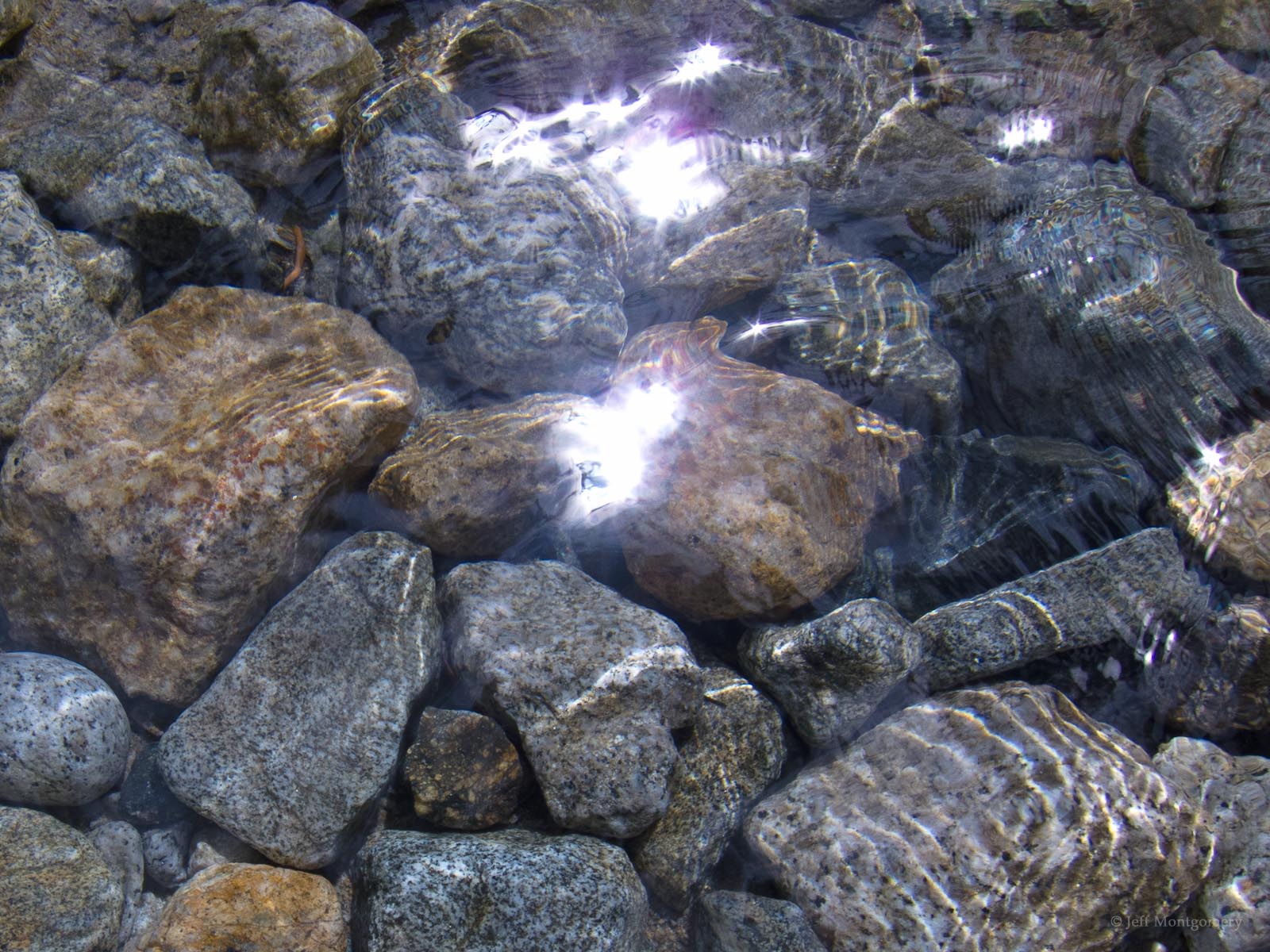
Afterwards, I walked along the Arkansas River for a bit before driving home.


On the drive back in the evening, traffic was bumper-to-bumper starting at Como, and according to my phone was moving under 10 miles per hour around Bailey, which is about 30 miles of cars apparently driving at 10-20 mph! I didn't want to get stuck in another multi-hour wait like last summer, so I turned around and drive through CO Springs. I may not have saved any time, but at least I was moving. Got home around 10:30 PM. Sometimes in the mountains there is just no easy alternate route.
