I didn't stay at this place in Gunnison, but I thought it was a cool sign, and it certainly has the right spirit:
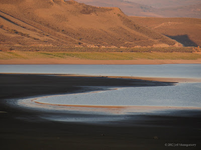
Blue Mesa Reservoir on the way to Lake City:
There's a good 7 miles of decent gravel road with 2 miles of rocky and steep road at the end, when driving to the trailhead from Lake City.
Along the approach is a creek with some red-tinged rocks and silvery waters.
This is about where I missed the turn to Wetterhorn, subsequently running an extra 1/2 mile before I suspected I was heading in the wrong direction:
Oops. This doesn't seem right, but it's pretty.
I doubled back and asked a friendly solo camper who gave me correct directions, and he was concerned that I had a long way to go. I told him I was running and it would be no problem, and was shortly several hundred feet above the valley looking down on the ant-like hikers and campers. Love running.
The turn-off towards Wetterhorn, which was straight ahead:
There was some really cool, irregular rocky tundra:
Looking back towards Uncompahgre:
Below is the summit. You can just see someone standing to the left of the top if you zoom in. The route is along the left ridge, through the notch to the right of the slanted rock spire and up a ~75-degree set of steps that are out of sight.
Below is the summit, with one person descending, and others waiting to head down:
Towards Uncompahgre again:
Looking down from the summit:
The shot below as taken midway through the downclimb from the summit, looking at a narrow sloped ramp (upper left) and the nearby drop-off. The ramp had some exposure but was OK if you took it slowly. On the descent the ramp slants upwards, and it was fun to walk up it in a crouch, with a drop right next to you. Ha!
As you can see there was some loose rock, but most was avoidable. It was, however, tough to keep from letting loose a pebble now and then.
The crux of this summit was slightly harder than that of the Longs Keyhole route, which is maybe the Home Stretch, mainly due to being steeper. It was simply a matter of choosing foot placement and hand holds, and exposure was there but not excessive. It was fun and challenging for a non-climber like me.
After getting below the summit block, I beat a quick retreat into the valley, running thousands of feet down in no time on easy switchbacks. This is Matterhorn:
Distance was 11.24 miles, time 4:10 (moving 2:47), elevation gain/loss 4,227 feet, avg. pace 22:16 (moving 14:56), and best pace 6:32.
My "detour" added about 1 mile and 35 minutes, so I gained the summit in about 2:10 and finished the actual loop in about 3:35.
Later while driving east of Slumgullion Pass I stopped at a rest area and realized it was a waterfall that Justin had posted a picture of. I've driven by that lots of times, never realizing there was a huge canyon and falls out of sight.


